About US
Corporate website for an engineering testing and inspection company focused on delivering
Corporate website for an engineering testing and inspection company focused on delivering
Our Core Services
Corporate website for an engineering testing and inspection company focused on delivering
Careers,
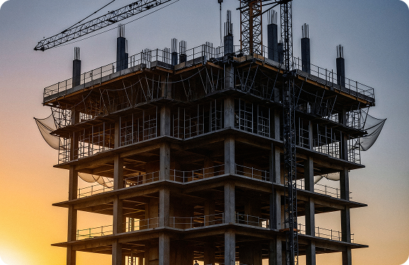
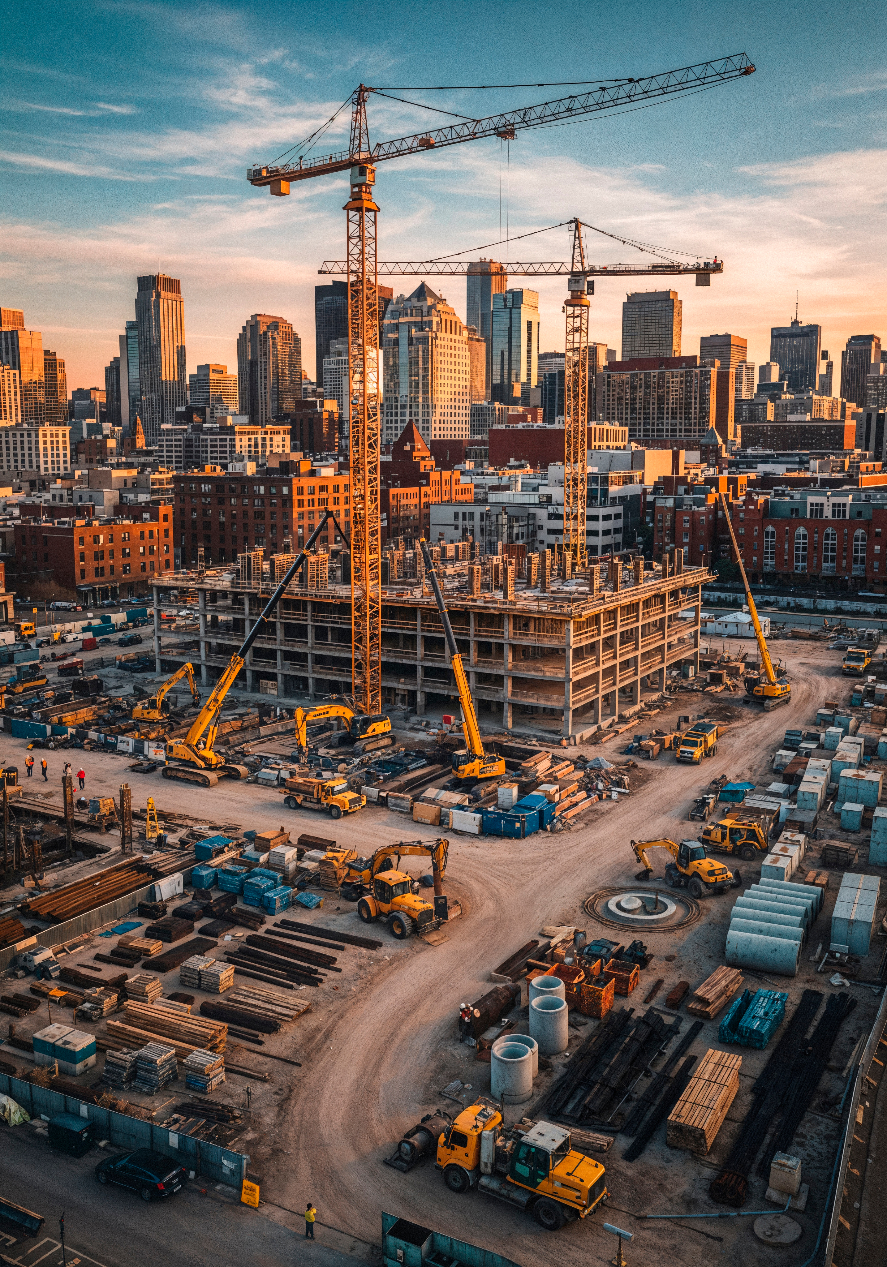
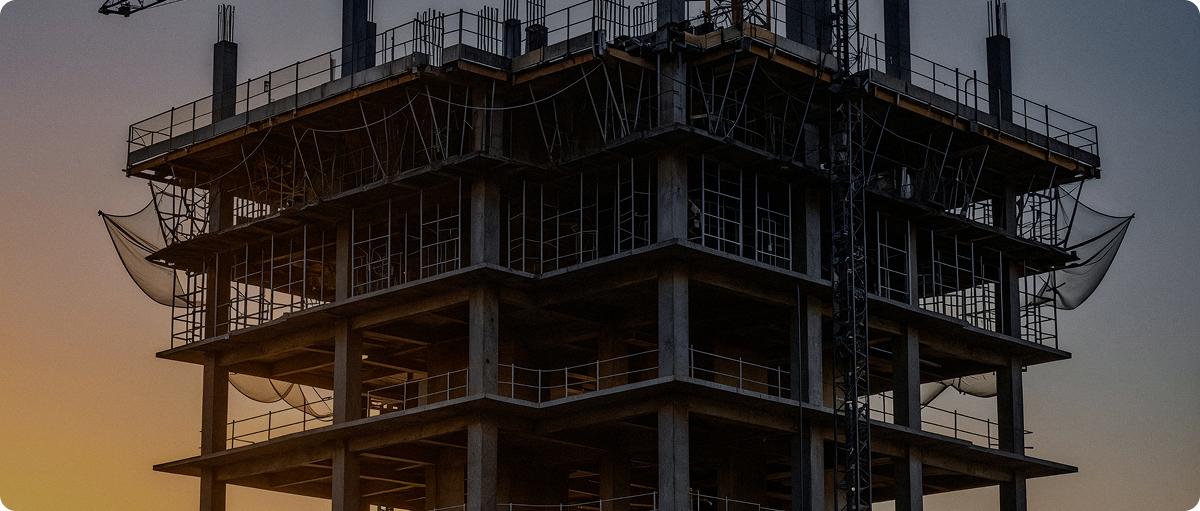
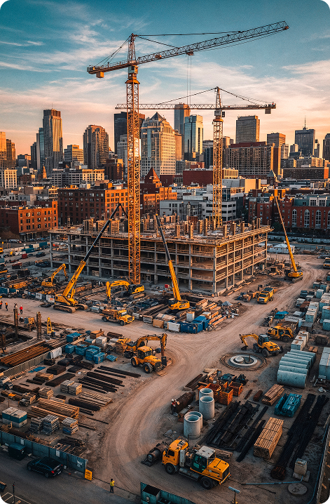
Rewarding Careers,Recognized Achievements.Shape the Future of Construction!
Rewarding Careers,Recognized Achievements.Shape the Future of Construction!
01
conslutions planning
A corporate website for an engine ering and inspection company focused on delivering highquality
02
Development
Development Development Development Development Development Development
03
construction Process
construction Process construction Process construction Process construction Process construction
04
Handover
Handover Handover Handover Handover Handover Handover Handover Handover
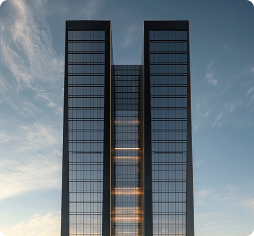
Featured Projects
Corporate website for an engineering testing and inspection company focused on delivering
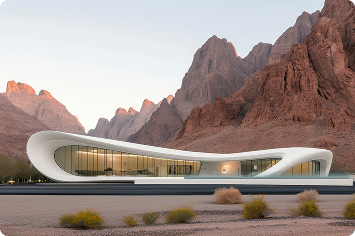
House in Desert
ACTS recently announced that it has completed testing and analysis works on three World Cup stadiums being built for the 2022 FIFA World Cup in Qatar ACTS recently announced that it has completed t
Read More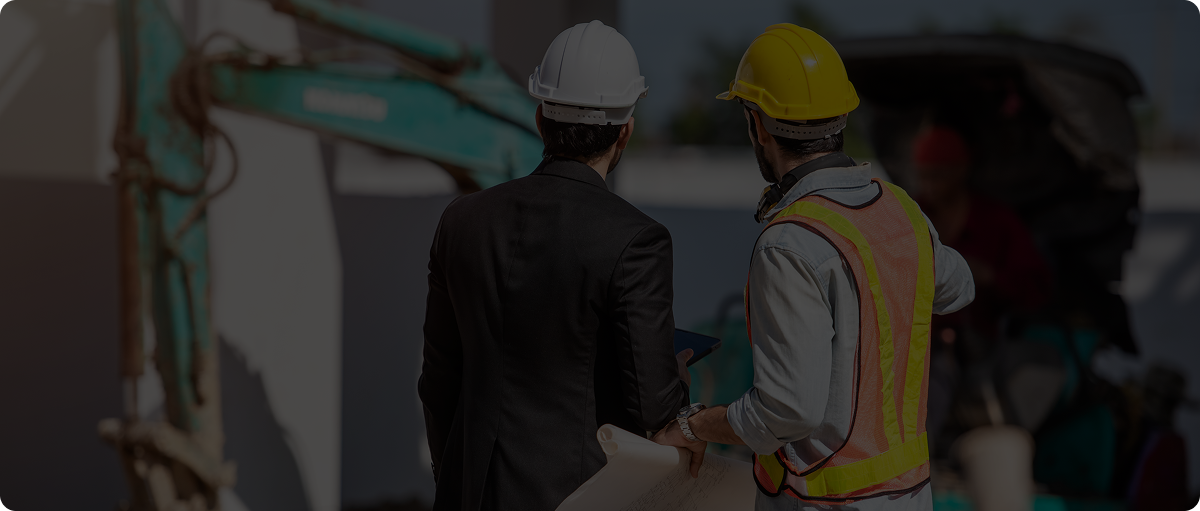
News
Corporate website for an engineering testing and inspection company focused on delivering
proudly announces
ACTS recently announced that it has completed testing and analysis works on three World Cup stadiums being built for the 2022 FIFA World Cup in Qatar
Read MoreCONTACT Us
Fill the below form and keep us in touch with you
