Mapping underground utilities
Mapping underground utilities
Mapping underground utilities Services :
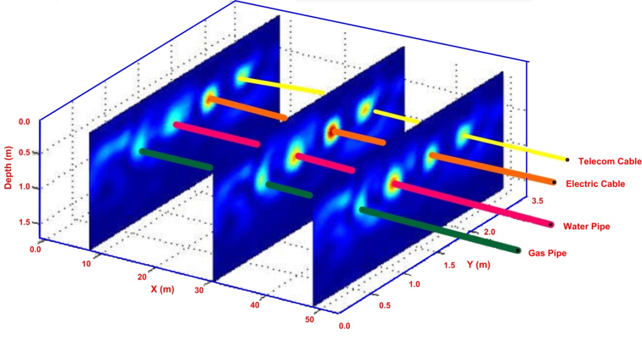
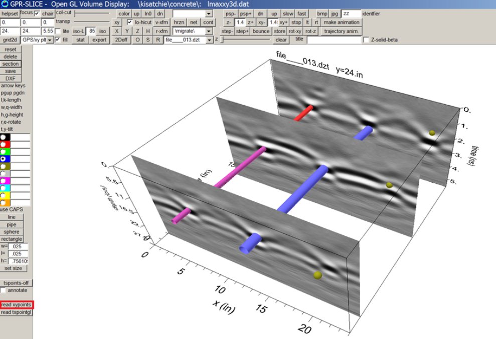
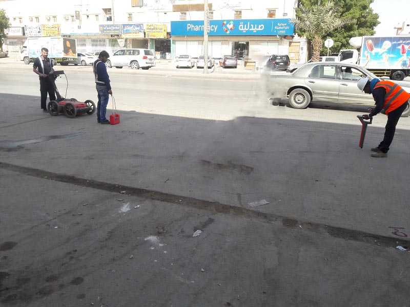
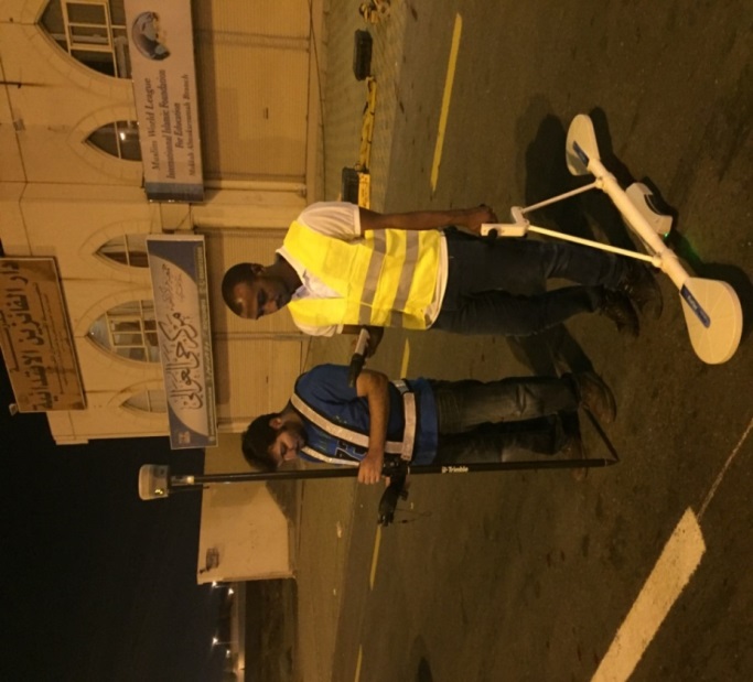
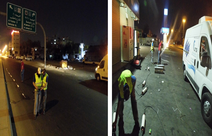
The infrastructure is becoming more complex last century regarding the importance of pipe, cables and other types of underground utilities detecting and the value of its application. Before excavation for maintenance of underground piping, it is necessary to understand the various site problems on topography and surface materials (e.g. position (depth and displacement) and size of other utilities, as well as manholes); In order to prevent third party companies from possible damages to infrastructural equipment and people, severe damage will be generated from mistaken excavation of other piping. The severity might even affect the corporate image and living resources such as electricity, telecommunication and hydrology. Detection of underground pipeline and cable locations is very important, In addition, locations and positions of infrastructural elements with respect to each other must be known for the new infrastructural projects and for the process of operation and replacement of current infrastructure. Especially with the new equipment and computer algorithms developed in the last years, the locations of infrastructural elements with respect to each other are determined more accurately. One of the most useful applications of this geophysical equipment in infrastructural engineering is mapping and detection of buried pipes. This unique application becomes imperative due to the ever growing urbanization in both developed and developing nations with its attendant demand for buried utilities. The construction, development and management of subsurface infrastructures have become a very viable business that attracts the attention of scientists and engineers over the past few years. Various utilities such as telecommunication and electric power cables, water and gas supply cables etc. are delivered through underground pipes of various sized buried at different depths. In many cases, maintenance of this infrastructure requires digging operation which leads to unintentional damage to some of the facilities. Since most of these pipes are distinguishable from their depths and sizes, geophysical methods can be used to reduce the cost and effect of these damages.