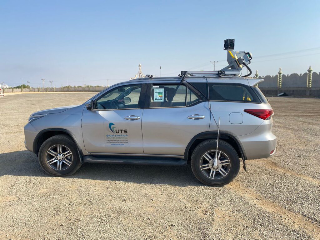
U T S state-of-the-art, Panoramic mobile mapping system equipped with data acquisition program simultaneously gathers images and positioning information, then employs a dynamic viewing program to process, display and interpret collected.
Aerial / photogrammetry Services :
Photogrammetry or aerial photography is the branch of surveying that deals with production of maps such as planimetric or topographic maps by compiling number of photographs taken in that area. Photogrammetry consists two branches: Terrestrial photogrammetry. Drone surveys are a faster, safer and more cost-effective way to survey at a height. Whether referred to as Unmanned Aerial System (UAS), Unmanned Aerial Vehicle (UAV), or aerial surveys, this innovative approach to capturing data from the air is fast becoming the surveying method of choice across many industries.
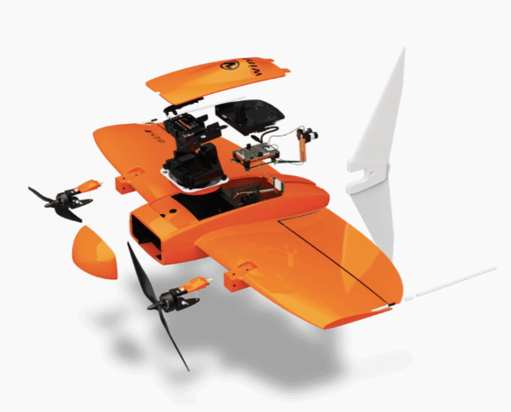
We will use drone for the big area in order to get the (DTM, DSM and DEM) and these elements will help us in the data processing to reach the required accuracy, the type that will be used is Wingtra drone: